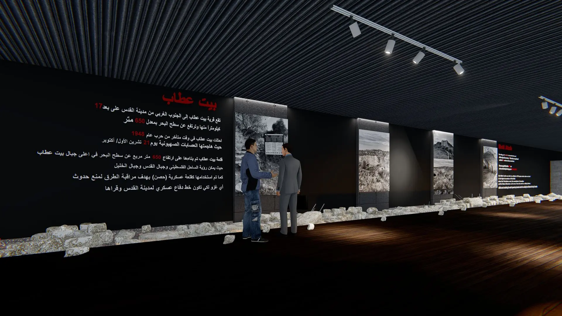
The village of Beit Attab is located in the southwest of Jerusalem, 17 km away. The area of Beit Attab lands in 1945 was (8757) dunums, of which (1400) dunums were agricultural lands. The proposed land is located between the contour lines of 600-665 m. Beit Attab village is considered one of the villages that was a military defense line against any invasion or attack that the village might be exposed to, as there are ruins of a castle at an altitude of 665 square meters above sea level on the top of the Beit Attab mountains. As for accessibility, due to the presence of the occupation and its attempts to Judaize the village and prevent the construction of streets in it, due to the lack of knowledge of the existence of this village, its roads were erased because it was considered a reserve, and trees were planted on them to hide them.
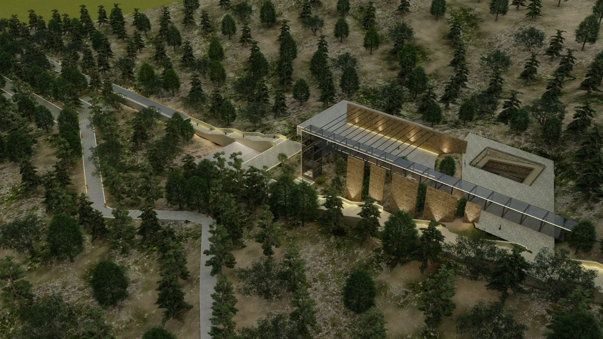
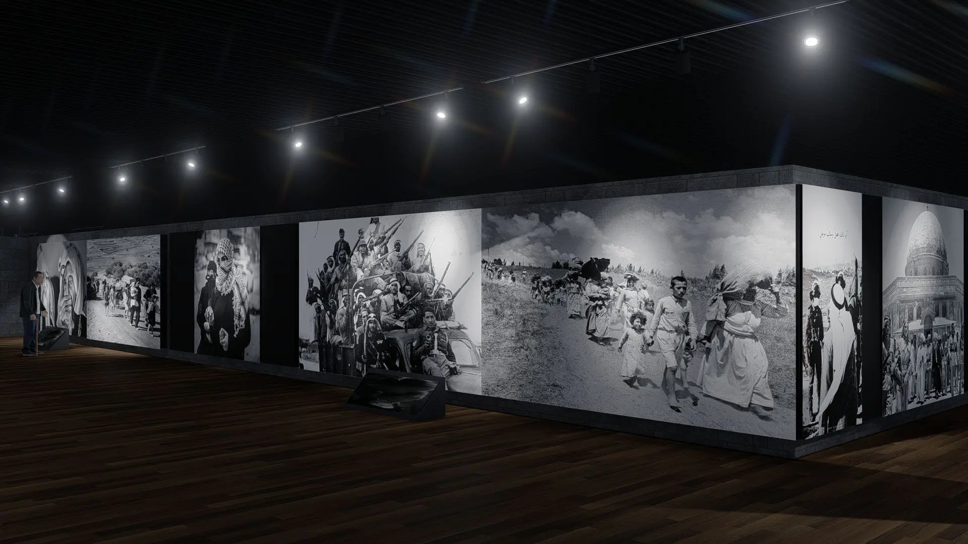
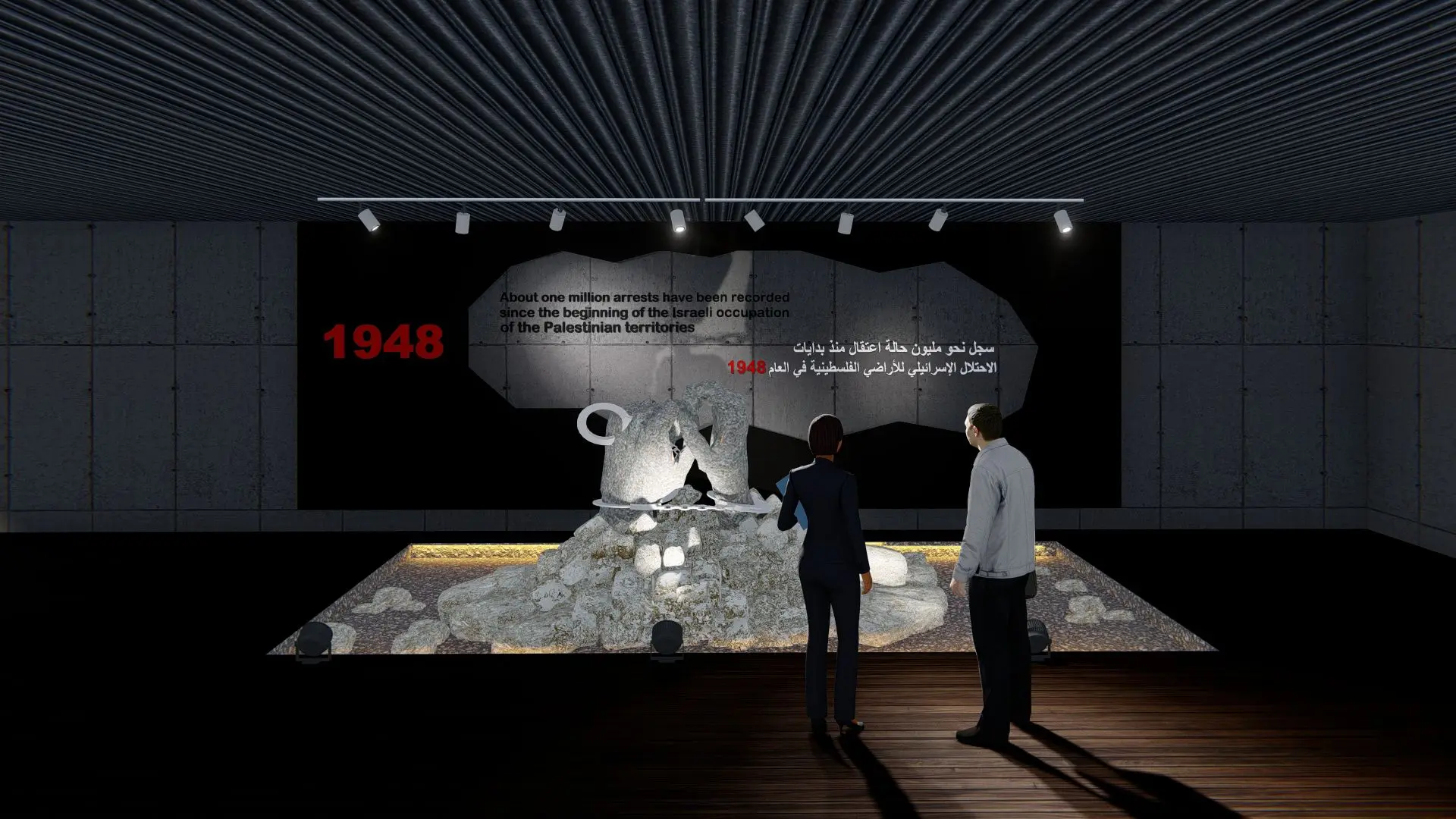
The idea of the project is based on directing the buildings in a way that is compatible with the main axis because the occupation prevented the construction of streets in it, thus obliterating and hiding them due to the lack of knowledge of the existence of this village. Therefore, a main axis was adopted, located near the Beit Atab Castle, so that visitors could see the project. Thus, the project was listed in three stages: the siege stage, the displacement stage, and the village’s revival stage (the return)